Watch our video chronicling our journey across Mexico from Baja to Chiapas.
Read moreEnter Guatemala
Lake Atitlan and her volcanoes from the dock at Hostel del Lago
I have a recurring feeling of a trip just beginning. All the evidence to the contrary, the worn out tread on the rear tire, my slowly improving Spanish, the constant clicking of the odometer clock (recently surpassing the 50,000 milestone), my beard grown out, the wild coconuts, bananas, and coffee beans that burst jubilantly from the brush all around us, is unconvincing.
Read moreOaxaca to Chiapas
Chipehua, Oaxaca
Sunday evening, as the sun cast long shadows over the deep valleys of Chiapas, we arrived in San Cristobal de las Casas. We had expected to stop short of the city in a dirty hotel in a nameless mountain pueblo, but the roads were smoother than we expected and straighter and we made good time. We began our day on the beach and ended it at 7,200 feet.
Read moreHow we planned our route through Mexico
Highway 175 from Tuxtepec to Oaxaca City
Our route was intentionally planned out very crudely. We took out a paper map of Mexico and literally drew a line across it along some roads that looked interesting, making sure to pass through the cities we wanted to visit. Of these there were only a couple at the start: San Miguel de Allende where Diana’s family lives and Mexico City, where I visited last Summer, but due to a surprise visit from the ghost of Montezuma, was unable to explore the pre-Aztec Teotihuacan city ruins just outside the city. Soon, by research in Lonely Planet (still a useful guide in spite of the internet) and word of mouth we added to our short list Guadalajara, Oaxaca City, the ruins of Campeche, Morelia and a handful of others. We estimated that we could ride 200-250 miles a day and planned our stops accordingly. We have since decided that we prefer to plan fewer miles and give ourselves more time to stop to eat, take selfies, and explore while still allowing enough time to arrive at our destination before dark. Sometimes it doesn’t quite work out as planned. Between Nayarit and San Miguel de Allende, we ate only gas station peanuts and Snickers bars for lunch, so pressed were we for time. The weather has been amazing in these winter months, dry air and moderate temperatures, but the short days have limited our riding considerably. We decided from the beginning not to ride at night. Everyone we have spoken to has agreed with that decision. The bandits come out at night, as do the cows, goats and sheep, and the potholes don’t go anywhere. Though there are highways that are safe and secure, even on those my enjoyment decreases rapidly with the setting sun.
Read moreLa Salud: Staying Healthy on the Road
I hope you’ll forgive the certified food-handler’s geek in me as I recount how swiftly and efficiently one pork-kebab stand in Coyoacan met the demands of their immense nightly crowd, and how each crew member handled raw meat, cooked food, sliced fruit, and cash payments. Without even a bottle of hand-sanitizer in sight. Did I partake of the kebabs? Sure did. Was I conflicted? You bet.
Read moreThe View from the Rear
Nathan and the friends we’ve met on our journey have wanted to know how I spend all that time alone with the thoughts bouncing around in my helmet. In truth, I only get bored when we’re riding on toll roads, and I mostly love our connection to the environment as we ride. Without the shelter and security of an enclosed vehicle, we are especially vulnerable, but I find that within that vulnerability, we have a unique opportunity to exercise mindfulness.
Read moreThe Way and the Wayfarers
The end of the road. Barra de Navidad
On a motorcycle you are free. Free to leave when you want. Free to go where you want. Free of time tables. Free of luggage bins. Free of pat-downs. Free of crowds. Free even, at times, of roads. But you aren’t free of your motorcycle and you aren’t free of yourself. These two remain. They aren't neat and tide like a time table and they aren't as definitive as a boarding pass. They respond to questions with more questions and demand a great deal of faith. You can't be certain how far you can go because you and your bike have never gone there. Lacking answers, you listen with all your senses and try to feel what your bike feels. You rub the oil in your fingers, you put your ear to the cylinder, you place your hand on the tire. You try to read the signs. You try to read yourself. This is your timetable though the lines are faint.
Read moreOf Santos and Sinners
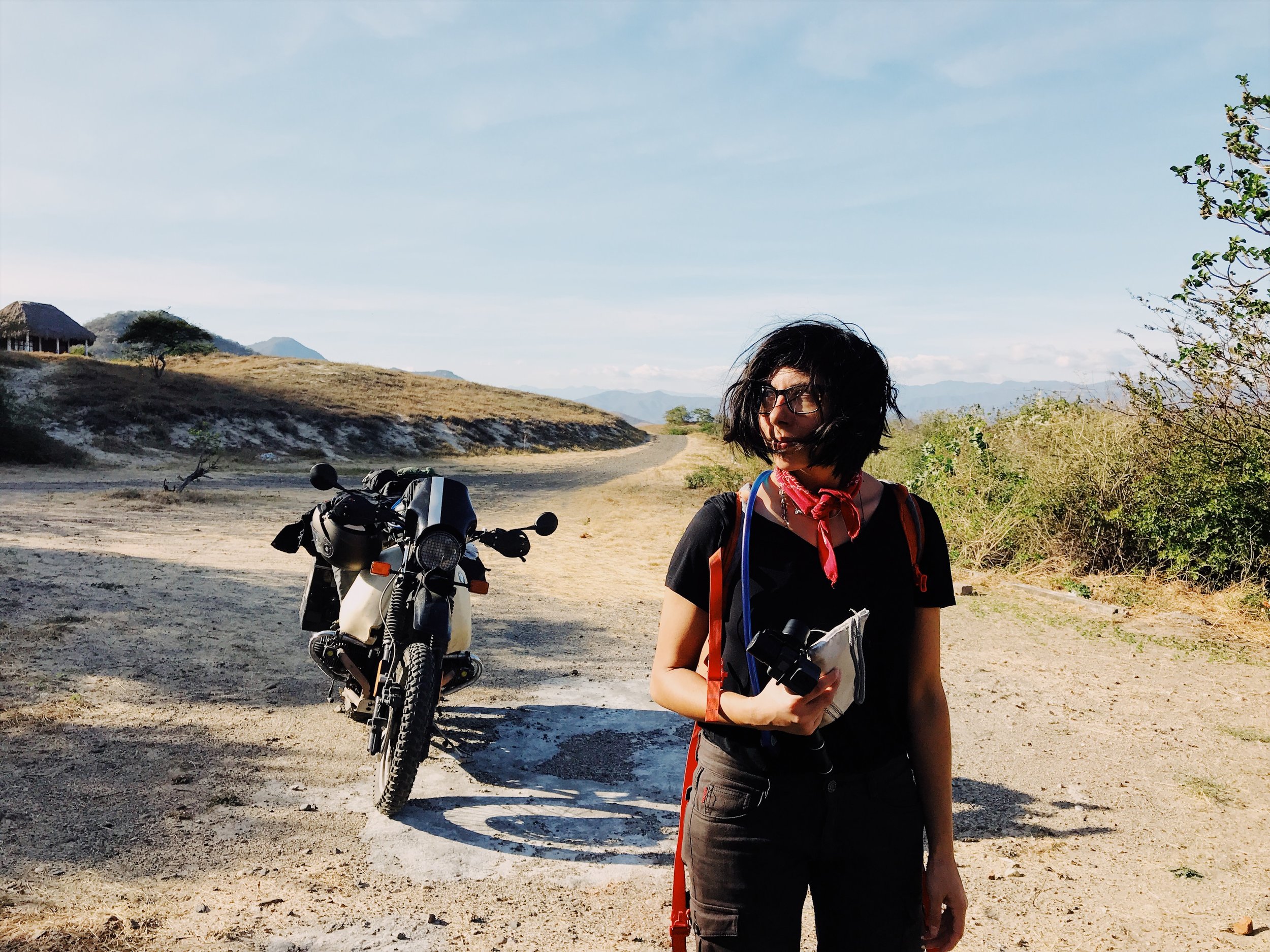
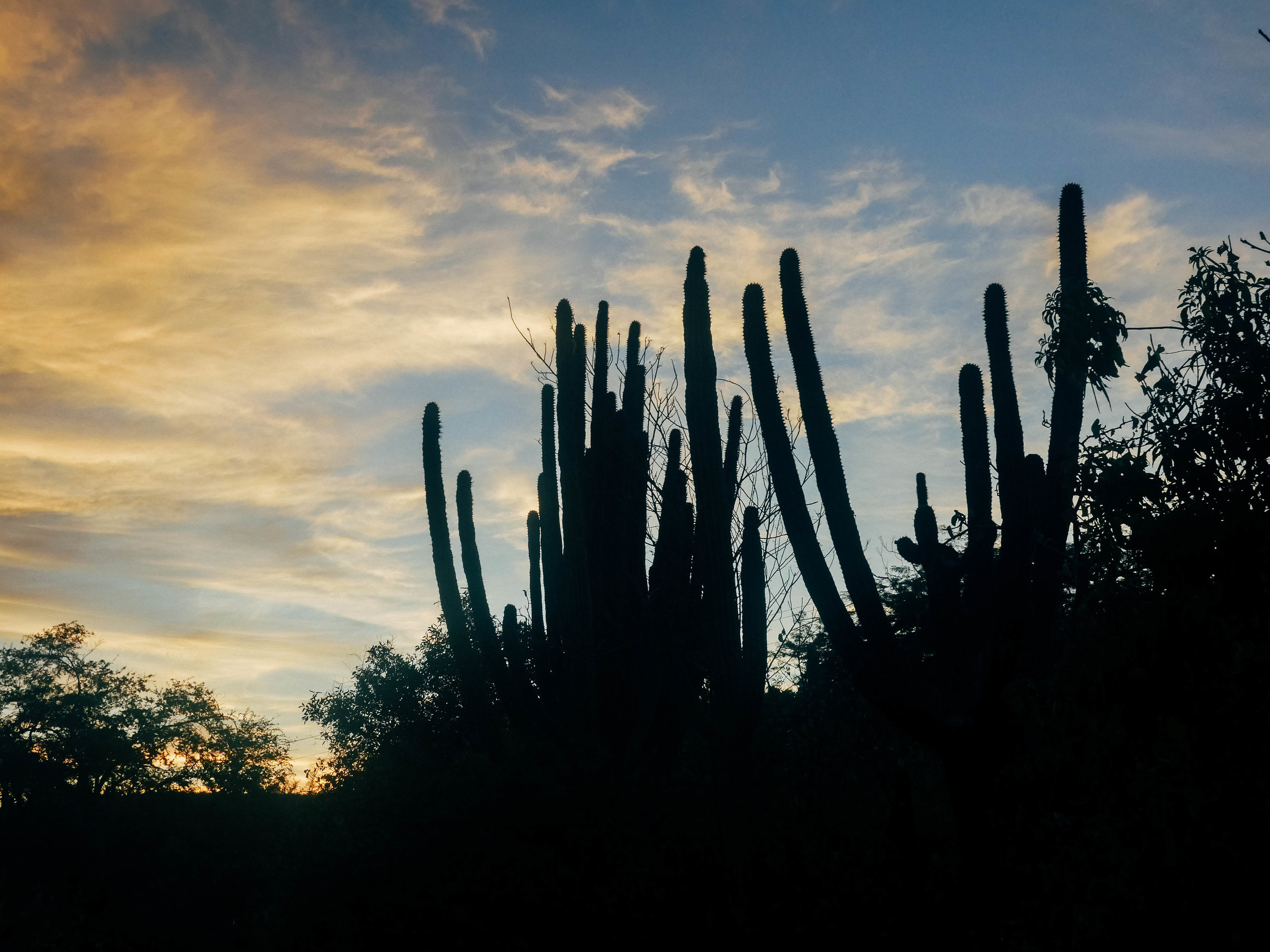
I forget distance out here in the desert. Phone reception can disappear completely between towns. A single paved highway connects a spiderweb of sand roads connecting innumerable pueblas. Many don’t appear on maps. But there are people and houses and minimarkets nonetheless. I forget that the distance we’ve traveled from town to wilderness would not even have taken us from San Francisco to Sacramento. Each turn creates new worlds from nothingness, erasing my sense of space. Out here among the cacti and sunbleached bovine bones, it feels we have traversed centuries.
Read moreMissing Pieces
Playa Santispak, Mulege, Mexico
Somewhere in the sands of Baja, between Mulege in the South and San Luis Gonzaga in the North, there is a very special nut waiting to be found. We have been in La Paz for over a week now, waiting for a replacement to arrive.
Read moreDesviacion
On Wednesday, we entered Mexico at Tecate just east of Tijuana. We drove right across the border and, realizing that we were in Mexico, turned around to try to find the customs office. If you are just bringing a vehicle into Baja, you don’t need any special permits, but since we are planning to ferry into the mainland at La Paz, we wanted to go ahead have everything in order. Everyone was very nice and patient as we wandered around. There were no lines anywhere.
We immediately rode East across the peninsula to avoid the madness of Tijuana and Ensenada. Federal Highway 2D, cutting back and forth through the mountains was magnificent. We then continued south on Highway 5 along the Sea of Cortez. Our first stop was San Felipe, a small beach town apparently popular with winter birds. It was quiet and there seemed to be as many Americans as Mexicans in town. After we checked into our Airbnb we took a stroll down the Malecon beach promenade, and ordered a gigantic platter of ceviche (the waitress warned us it was too much, but I persisted) and a couple cervezas. We had made it into Mexico. Our trip had finally begun.
After staying a couple nights, we continued as far as the 5 hugged the coast and picked for our destination Campo Papa Fernandez. The two mile long dirt road to the camp quickly turned to sand. Until then, I had no experience riding in sand, let alone with a passenger and fully loaded with luggage. I tried to take it slow. Things were going fine until we hit a deep spot of sand. The front tire dipped to the left and then harder to the right. I couldn't correct it and the bike spun ninety degrees and we flopped over. We weren’t hurt, so I switched off the fuel, took a couple pictures and together we lifted the bike up.
It struck me that falling off a bike isn’t a very far fall at all. Almost as soon as you realize the bike is going down, the fall is over.
I was pretty confident I could have avoided the fall if we had been standing on the pegs, as you should do when riding off-road. So we continued, standing. I navigated a few rough patches and was feeling pretty good. We must have hit another deep spot though, because before I knew it the bike was down and Diana was on top of me. The camp was within sight, and Diana’s foot was starting to hurt from the first fall, so we decided to just walk the bike the rest of the way.
The camp appeared to be a loose collection of shacks, broken down buses and RVs nestled on the shores of a beautiful bay. The proprietor was surprised to see us and concerned about our falls along the road. We asked about camping and he pointed to a steep rocky hill. “El otro lado.” On the other side. I wasn’t excited about climbing a hill at that moment, but it looked alright. Diana walked behind me in case I dropped the bike again.
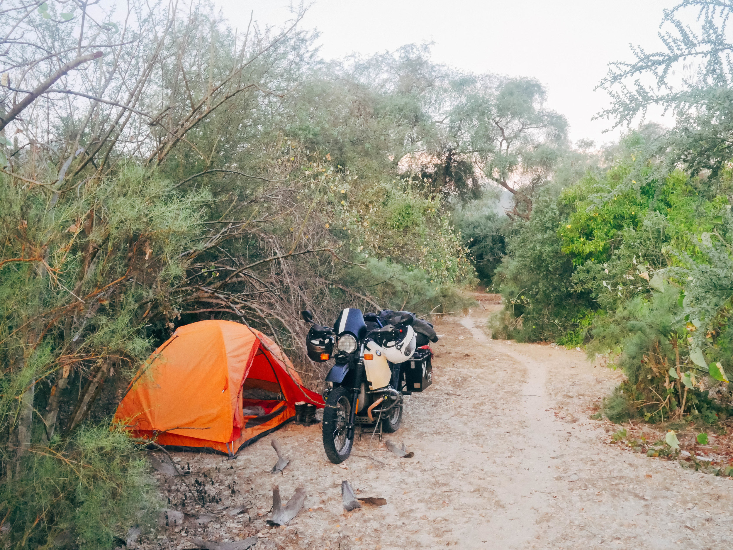
As we set up camp, we felt like we had struck gold. It was everything we had hoped for, quiet, secluded, and picturesque. There were even pit toilets, though somewhat dilapidated. A family in as Subaru were the only other people on the beach.
The next day, we continued south. We were feeling good and glad to be back on tarmac after our brief stint on the sand. Just a few miles down the road however, the way was blocked and a large orange sign read “Desviacion.” I assumed, correctly, that meant “Detour” and followed where it pointed, down off the highway to a rutted, gravelly path that only scarcely resembled a road. We had no choice but to continue.
Several miles later, my lifetime off-roading time now doubled, we came across some Mexicans with ATVs. Breathing hard, I asked how much further this continued.
“One mile, then you go up on a bridge. The road there is so good.”
The road there is so good.
I was energized by the thought of soon being back on solid tarmac. We found the bridge we was talking about, but the path up to it was daunting. It was short, but deeply rutted, sandy, and probably the steepest slope I’ve ever climbed (which in the grand scheme of hill climbing, isn’t saying much). I was confident and, compelled by the thought of sweet sweet pavement, we began the assent. We climbed slowly upward. I little too slowly in fact. About three quarters of the way up, the bike stalled. I grabbed the front brake, but began sliding backward on the loose sand. Without any momentum, I couldn’t hold the bike up and we tipped and fell softly into the hillside.
It was a tricky spot to lift the bike, and would have been easy to accidentally tip it over on the other side, but together we managed to do it. I mounted the bike, and Diana stacked some large rocks behind my rear tire for traction. She would walk the rest of the way up. I gunned the bike to a start as I let off the brake, it lurched forward, digging into the sand, I let off the gas slightly to get more traction and then gave it some more gas to get over a bump. From there it was easy and I made it to the top. But there was no tarmac. There was just more dirt road as far as I could see.
It’s all relative I guess.
On the bright side, it did more closely resemble a road and it did not appear to be as rocky, but who knew how long that would last. We had seen no signs since the desviacion began. We had no service on our phones. And, though we had maps, none of them had this road marked. The road would fork and merge, begin to fade and then reappear. There was even one short patch of brand new, smooth pavement sandwiched between dirt roads. Occasionally, a 4x4 vehicle or a gaggle of dirtbikers would race past us. They appeared to be going somewhere. We came across some abandoned road working vehicles. So someone is working on this road, I thought. One dirt mover was operating in the distance, a young man was hanging out of the window. He whistled. I stopped. He waved. I nodded.
All around us, infinitely in all directions, was rugged, undisturbed, desert beauty. But I did not have the mental space to notice it, all of my energy was exhausted in focusing completely and simultaneously on the road ahead and the rocks directly in front of my tire.
We met one man out there in the depths of the desert. His abode was listed on the single road sign we saw, Coco’s Corner. We stopped to rest. Several other vehicles were stopped as well. A couple men were under the hood of a small SUV. A barbed wire fence was decorated with thousands of sun-faded cans of Tecate and Pacifico. A sign hung in the air, also constructed out of beer cans, Coco’s Corner. There was a small flat-roofed structure with women’s underwear pinned to its outer wall. A couple of truck camper shells sat in the sand.
I was not sure what to think of the place. Why did it exist out here so far from everything? The door to the building was open, so we walked inside. Every inch of the walls were covered with photographs, every inch of the ceiling strung with women’s panties. A very small bed with threadbare blankets huddled in the corner. On the far wall was a counter and window like at a shop, and behind it an old man sat holding a hammer, preoccupied with some piece of machinery he held in his hand. A couple of other people stood inside and he seemed to be helping them with something. He appeared to be Coco. This appeared to be his corner.
He appeared to be Coco. This appeared to be his corner.
He made no indication that he noticed our entry, but continued talking in an aggressive, gravelly voice with the other couple. He rolled around to the doorway by the counter. He rolled because he was in a wheelchair, and he was in a wheelchair, it soon became obvious, because he was missing his legs below his knees. He rolled directly up to me. His face was like a bulldog’s focused on its prey. I was stunned. He barked something at me in Spanish, but I could not make out a word. I stood there dumbly. We wanted to know how much further it was to Highway 1, Diana said in Spanish.
“Veinte kilometros,” he replied but it gets much worse from here. It sounded like a threat, or a challenge. “¿A donde vas?”
La Paz, Diana responded. He had not taken his eyes off me. Sí, La Paz, I repeated. He laughed hoarsely, “mañana,” he said as he turned his back to us. “Mañana.”
There were so many things I wanted to ask him. What was he doing out here? Was he all alone? Was that a picture of him crossing Baja on a motorcycle in 1954? But it seemed that our audience with this desert king was finished and it was time for us to leave his small kingdom.
Slowly we plodded onward, but the road was not as bad as he had led us to believe. It was just bad. I had deflated the pressure in my tires to ride better off-road and this made a huge difference. We still had plenty of daylight left and we just needed to get to the highway where we would find some towns and a place to stay for the night. The road continued to offer up new and surprising challenges. The worst was a stretch of a few hundred meters that was being prepared to be tarred over. Large, fist-sized rocks evenly covered the entire surface. The tires bounced and rolled irregularly over them. To the left and the right, the road fell off ten or so feet to the desert below. I feared falling here, but if I slowed down, the bike got harder to control. I tried to maintain the minimum speed I needed to keep control. When it came to an end, I was relieved to return to dirt.
A couple hours after leaving Coco’s Corner I saw, gliding across the horizon, the silhouettes of semi-trucks. That was the first sign that we were approaching the highway. Soon we arrived at the pavement. There was no merger or anything. The dirt of Highway 5 simply butted up, unceremoniously, with the pavement of Highway 1. I re-inflated my tires, and we took off, seeming to glide across the glassy smooth asphalt.
We stopped in the small town of Rosarito for the night. This morning I woke up feeling stiff from the five hours of off-road riding and ill from dinner so we have decided to postpone our departure one more night and rest up.
I Could Ride 500 Miles
So we’ve made it to Los Angeles. Actually, we’ve been here for four days now. We were not intending to stay so long.
Read more